The US Geological Survey (USGS) measures the flow of rivers in the US with a network of streamgages that monitor the water level.
The first of these was installed in 1889 in New Mexico next to a railway, and since then the network has expanded vastly.
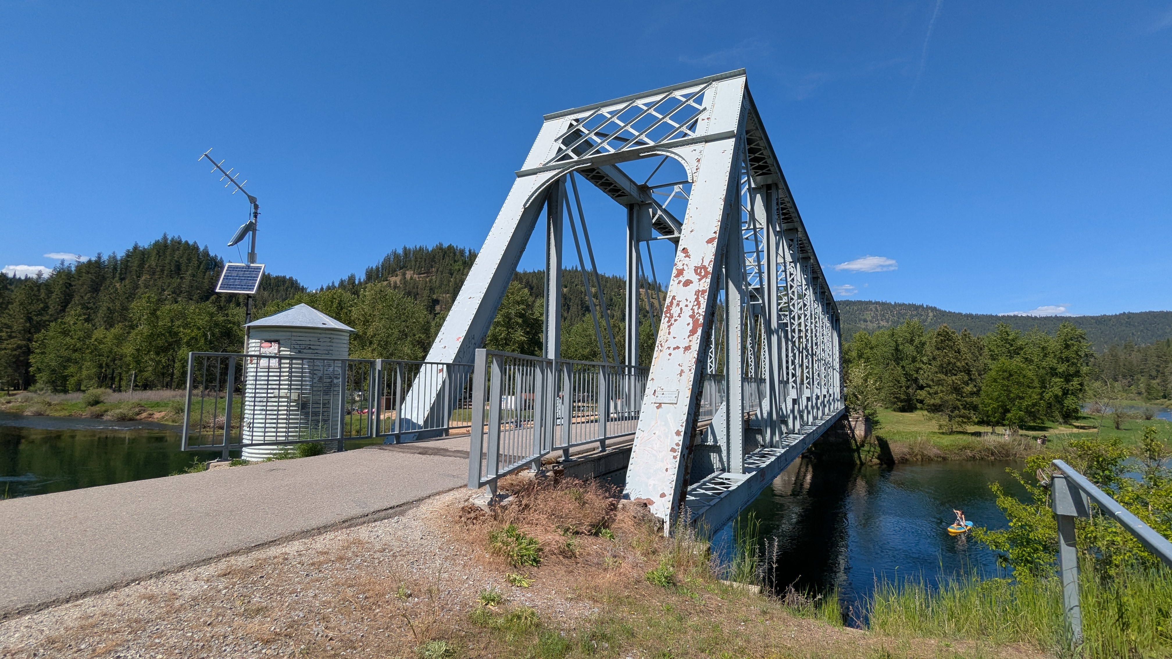
Stream height is measured using several techniques, the most common of which is based on a stilling well.
A stilling well is a pit, usually lined with concrete, that is filled with water to the same level as the river.
The water level is measured by a float connected to a counterweighted stainless steel tape, though sometimes the height is measured using radar, ultrasound, or lidar.
The difficulties with stilling wells include debris and silt entering the well, which requires the intakes to be periodically cleaned.
The other common measurement technique is based on a bubble gage, which uses gas pressure to measure the water level.
No matter which technique is used to measure the river level, the discharge of the river (the volume of water flowing through it) is calculated using an empirical relationship.