Summary
-
Argentine startup Satellogic is working with space agency GAASA to launch a satellite imaging constellation that will be able to capture sub-meter resolution imagery of the Earth.
-
Running on renewable energy, the constellation’s first two satellites were launched in early 2023, with 30 more to be added by 2024.
-
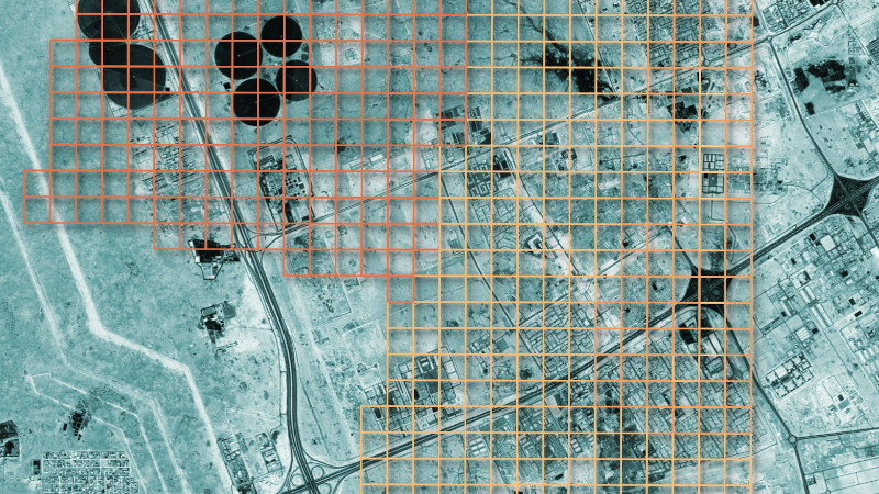
Satellogic maintains an open dataset which avid hacker Mark Litwintschik has been using to experiment with.
-
He started with a script to establish where the satellites were, then moved on to parsing the huge amount of data in the S3 bucket that held the imaging information.
-
After loading the data into a database, Litwintschik was able to easily query the information and identify which areas the satellite had imaged, and retrieve the resulting imagery.
-
Although the dataset is not comprehensive, as it is based on areas that have been pre-purchased by customers, it is accessible to anyone who would like to play with it.